


The shelter in the bay is good except in onshore winds with a northern quadrant that can make it uncomfortable at times. The access is generally straightforward but requires careful navigation and good visibility to keep clear of rocks and islets.

Keyfacts for Cruit Bay


Nature


Considerations
Protected sectors


Summary
A good location with careful navigation required for access.Nature
Considerations
Position and approaches

Haven position
 55° 2.127' N, 008° 24.274' W
this is the position at the quayside at Gortnasate on the east shore
What is the initial fix?
 55° 2.741' N, 008° 24.048' W


Not what you need?
- Owey Island - 1.6 nautical miles NW
- Bunbeg - 3.4 nautical miles ENE
- Burtonport - 3.5 nautical miles SSW
- Rutland Harbour & Island - 3.7 nautical miles SSW
- Gola Island - 3.7 nautical miles NNE
- Arranmore Island - 4.2 nautical miles SW
- Inishsirrer Island - 5.5 nautical miles NNE
- Church Pool & Portnoo - 11.5 nautical miles S
- Toberglassan Bay - 11.8 nautical miles NE
- Dawros Bay - 13.6 nautical miles SSW
- Owey Island - 1.6 miles NW
- Bunbeg - 3.4 miles ENE
- Burtonport - 3.5 miles SSW
- Rutland Harbour & Island - 3.7 miles SSW
- Gola Island - 3.7 miles NNE
- Arranmore Island - 4.2 miles SW
- Inishsirrer Island - 5.5 miles NNE
- Church Pool & Portnoo - 11.5 miles S
- Toberglassan Bay - 11.8 miles NE
- Dawros Bay - 13.6 miles SSW

Chart

How to get in?
 The 'Erris Head to Malin Head' coastal description provides approach information to the suggested initial fix. Vessels approaching from the south should select the northeast bound
  sequenced description; vessels approaching from the north should select the southwest bound sequence; western approaches may use either description.
This open north facing small inlet, the southwestern fork of the larger Inishfree Bay off the Atlantic Ocean, is situated immediately to the east of Cruit Island and is part of the Rosses district of County Donegal.The entrance to the inlet lies between Illannanoon Islet and Rinnalea Point, but care must be taken not to mistake the entrance with the bay immediately to the west of Tordermot and Inishillintry Islets, which is very foul.
The best anchorage with 2 metres depth is well into the bay just south of Corillan Islet, also known as Odd Island, though at times the anchorage tends to be occupied by local fishing vessels. Whilst obtaining water and stores it is also possible to go alongside at Gortnasate Quay on the mainland due east of Corillan which has at least 3 metres depth at low water springs. Kincasla Pier just southeast of Gortnasate Point dries to 0.5 metres alongside but is completely sheltered and is a good place for a yacht to dry out.Why visit here?
Cruit Bay, pronounced Critch Bay, is a quiet and peaceful anchorage with good shelter and with generally easy access but does require careful navigation to keep clear of rocks and islets, particularly Nicholas, Sylvia and Yellow rocks. It is secure in all summer winds though swell and a northerly wind make it uncomfortable at times, and it should also be noted that the ebb tide runs out strongly. It used to be very suitable for visiting yachts to drop into but now the best part of the bay is filled with local moored fishing boats, so it is best to anchor just north of them.Cruit Bay is part of The Rosses, Irish : Na Rosa, a geographical and social region in the west of County Donegal centred around the town of Dungloe, approx. 5 miles from Burtonport, which acts as the educational, shopping and civic centre for the area. Defined by physical boundaries in the form of rivers, as well as history and language, the area has a distinctive identity, separate from the rest of Donegal. The Rosses, Cloughaneely and Gweedore, known locally as “the three parishes” with over 16,000 Irish speakers together form a social and cultural region different from the rest of the county, with Gweedore serving as the main centre for socialising and industry.
The area is generally bleak and desolate but nevertheless has a unique scenic charm that attracts many visitors, particularly walkers and fishermen.
There are no facilities at this inlet except for water which is available at Gortnasate Quay, and a small shop for provisions 0.5 miles away at the village of Kincaslough, and fuel can be obtained in a further 2 miles up the road. Donegal regional airport at Carrickfin is conveniently located nearby.
What facilities are available?
there are no facilities at Cruit Bay except for water at Gortnasate Quay; a small shop for provisions and a post office are available at Kincaslough 0.5 miles away and fuel can be obtained in a further 2 miles along the road.With thanks to:
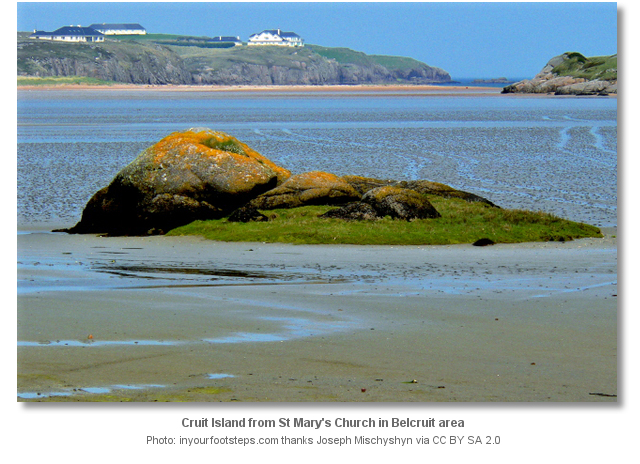
inyourfootsteps.com site research. Photography with thanks to Suzanne and Joseph Mischyshyn and Kieran Evans.


The following video presents various views around Kincasslagh and clearly shows the quay at about 50 seconds into the film.


Add your review or comment:
Iain Miller wrote this review on Oct 19th 2017:
Cruit Island sits at the western tip of The Rosses area of western Donegal. It is one of the most developed rock climbing venues in Ireland containing a tad over 300 recorded routes from Diff to E2 in a relatively small geographical area. The climbing on the island is found on 24 sea cliffs around its entire coastline.
http://uniqueascent.ie/cruit_island_guide
Please log in to leave a review of this haven.
Please note eOceanic makes no guarantee of the validity of this information, we have not visited this haven and do not have first-hand experience to qualify the data. Although the contributors are vetted by peer review as practised authorities, they are in no way, whatsoever, responsible for the accuracy of their contributions. It is essential that you thoroughly check the accuracy and suitability for your vessel of any waypoints offered in any context plus the precision of your GPS. Any data provided on this page is entirely used at your own risk and you must read our legal page if you view data on this site. Free to use sea charts courtesy of Navionics.